
The Tubal Cain Mine Trail: How To Hike To A Plane Wreck
This weekend it was foggy and wet in Washington, but we wanted to go for a hike. I didn’t want to do a summit hike, since we wouldn’t be able to enjoy the views because of the fog. I did a little research and came across the Tubal Cain Mine hike that leads to the site of an old plane crash. That seemed like a good hike for a foggy, moody weekend.
B-17 Crash in the Olympics
In 1952 AF 44-85746 crashed in the mountains of Clallam County Washington. The B-17 was a search and rescue aircraft carrying 8 men. It had been searching for survivors of a Korean airlift wreck over Sandspit BC. The airplane was on its way back to McChord Air Force base in Washington State when it hit bad weather. Extreme turbulence forced the plane up and down 800 feet. With blizzard-like conditions, visibility was poor. The wing of the plane eventually clipped a tree sending the plane crashing to the ground.
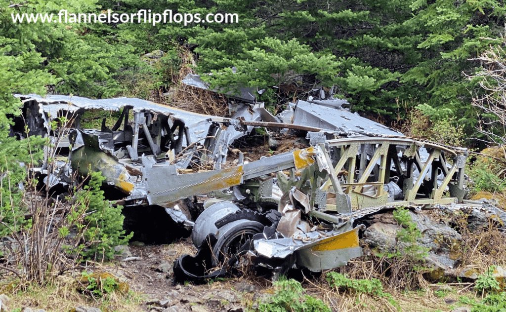
As the plane hit the ground the lower cockpit was ripped off. Some of the engines and the rescue boat were also torn off. The burning, destroyed plane eventually slid down a 2000 foot slope into the meadow below.
3 of the crew lost their lives during the wreck. The remaining 5 used their parachutes and other items from the plane to make a camp until they were rescued. They were unable to radio out due to no signal but were spotted by another aircraft and lifted to safety.
You can see original pictures of the plane and crew, and read their accounts on a post called “The last flight of ‘746“, written by Mike Morrow. It’s very interesting and adds such a personal feeling when you see the wreckage to know what the crew went through that night.
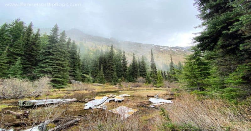
Now, more than 65 years later, you can hike to the site of the plane crash and still see the wreckage strewn about the meadow.
Tubal Cain Trail to the Plane Crash

Where is the Tubal Cain Mine Hike?
The Trail for the Tubal Cain Mine Hike is located outside of Sequim Washington. You will see It labeled as #1 on the map below.
The hike to get to the plane crash site starts on the Tubal Cain Mine Trailhead. The directions from the US Forest Service on how to get to the Tubal Cain Mine Trail are:
From Quilcene drive north on US Highway 101 for about 26 miles and turn left onto the Louella Road across from Sequim Bay State Park. Go one mile and turn left onto Palo Alto Road. Continue on Palo Alto Road, which turns into Forest Service Road 28 at the forest boundary.
FS.USDA.GOV
Then turn right on Forest Service Road 2880, go past Dungeness Forks Campground and stay left onto Forest Service 2870 for 12.5 miles to the Tubal Cain Trailhead on the right. Forest Service Road 2880 is steep and is not recommended for trailers.
There is a small parking lot right at the trailhead. There are bathrooms just before the parking lot.
You’ll need a NW Forest Pass to park. Its $5 for a day, or $30 annually. If you already have the America The Beautiful Pass for National Parks (which you should!) you can use that instead of purchasing a forest pass!
How long is the Tubal Cain Mine Trail
The Tubal Cain Mine Trail is 7.2 miles and is an out and back, mostly easy hike. It shares the beginning of the trail with the the tubal cain hike which is 18.9 miles out and back.
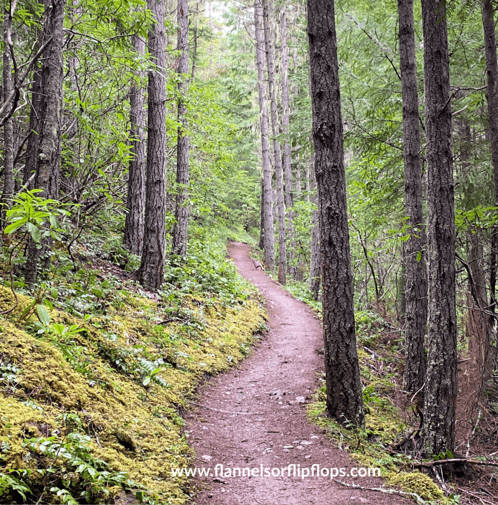
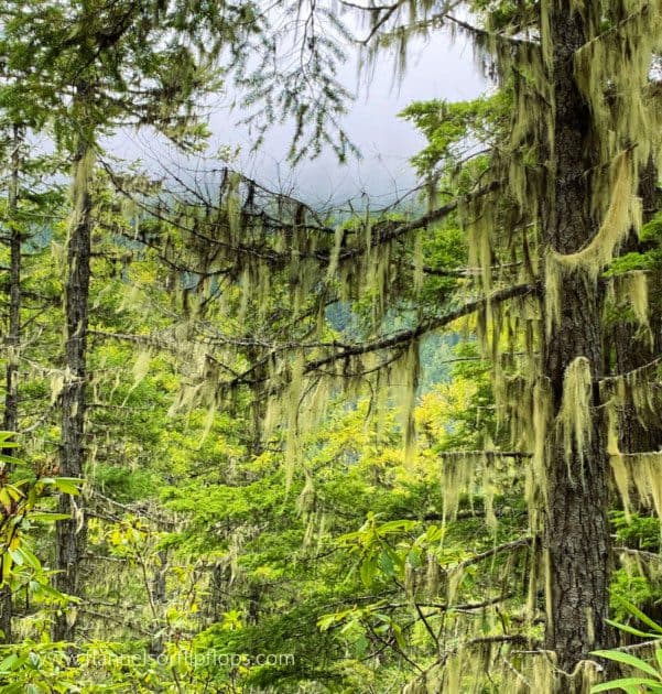
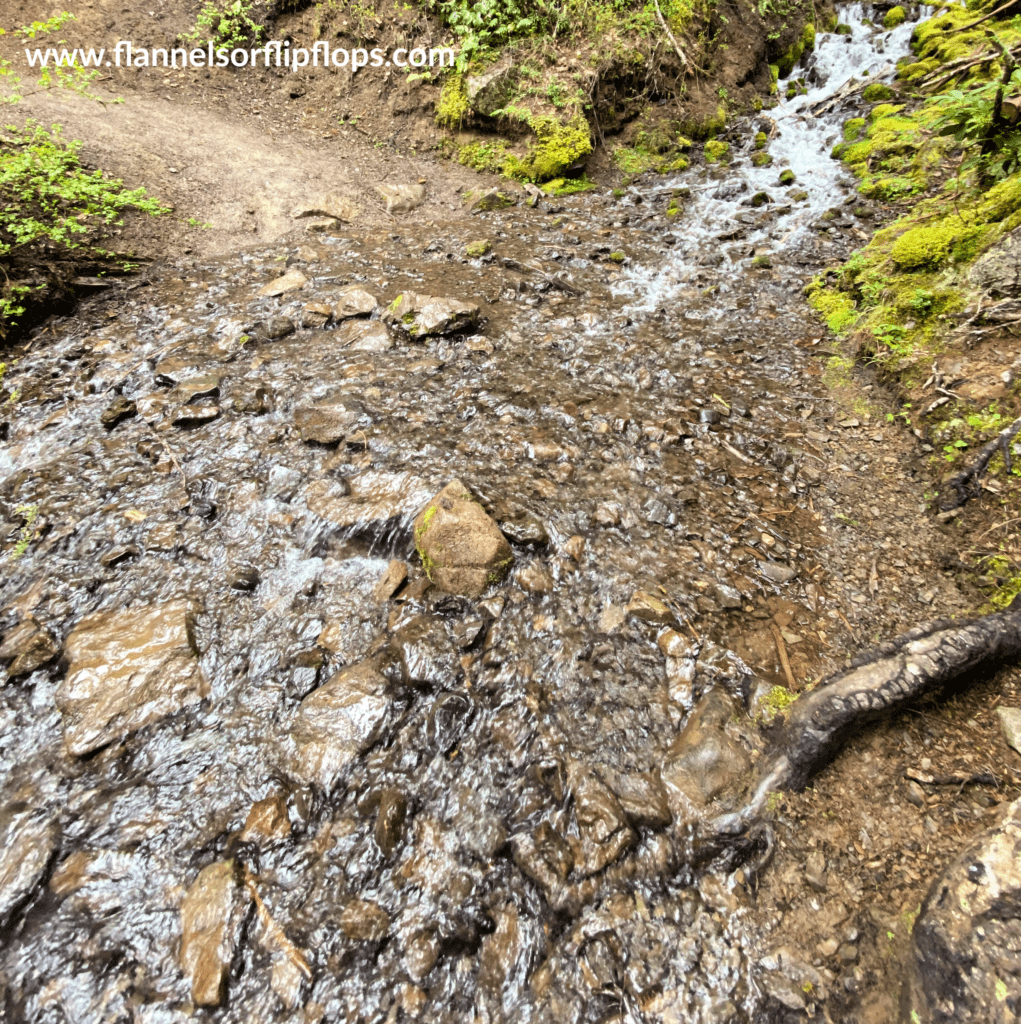
The trail is well kept and absolutely gorgeous. To start, you will pass a few campsites by the river, and over a log bridge. The trail then starts its climb up. It is very gradual and not too strenuous at all. Both sides of the trail are lined in greenery. During the summer there will be hundreds of blooming rhododendron flowers. Sadly, we were too early for this! There are a few water crossings, but nothing too crazy. Just be sure and wear waterproof shoes with good traction. To the right, there will be occasional openings in the greenery and peeks at the mountains across the way.
Keep following this trail for about 3 miles. When you get close to the 3-mile mark start keeping an eye out for an old mine shaft. It will be above the trail and to the left. Just after you see this shaft, there will be a small sign that reads “Tull Canyon” with a trail that goes uphill, and back the way you came. That’s your trail. You have to watch for it though, it’s easy to miss. *Tip: if you want to explore the mining site, just keep going straight about another half-mile (don’t turn up to Tull Canyon)

Going UP

This is where the trail gets a little more challenging. It is quite steep and rocky the rest of the way up. The trail continues up about .6 miles but it sure feels longer! The beauty surrounding you will help keep your mind off your burning calves. There are enormous moss-covered boulders on both sides of you, and greenery everywhere. Just keep going up.
After the incline is done, you are very very close to the plane crash site. There is a small footbridge made of a few logs you can cross the creek on. There are also a few spots you can cross by hopping across rocks, which was easier than the slippery logs for us.

Almost there.
After you cross the water, its not far now. You will come to a flat semi cleared area, and begin to see pieces of the plane. There are a few metal pieces to find right when you arrive, and you will see fire pits where people have camped. It’s exciting to see this spot, but there’s more!
The plane crash site

Look to your left and down, you will see a marshy area, that’s where you want to be. There are several places to go down and the wreckage is strewn everywhere so you can’t go wrong. To get to the main part of the wreck, you’ll have to cross another log footbridge.
Explore around and see what you can find. There is a piece of an engine behind the main site and through the trees.

There are some big boulders where you can have lunch before you head back down the trail to leave.
Be respectful
It’s fun and exciting to hike to a plane crash site. Look around here, but be mindful that this was a tragedy and that people lost their lives. I was sad to see that there was graffiti on the plane, and things had been stolen (based off pics I had seen a few years ago, there was stuff missing). Just follow your good hiking etiquette and take your stuff with you when you go.
REMINDER : It’s important when hiking to to LEAVE NO TRACE
This was a great hike for a foggy wet day. It would be gorgeous late summer, and probably not too hot, since it is covered most of the way. I’m not sure I would try it in the snow. It would be a pretty cool Halloween hike, with the empty mines and the wreck site!
Pacific Northwest Hiking is great! There are so many trails and beautiful views to find. You can see my favorite hikes at Mount Rainier National Park or my favorite Fall PNW Hikes! Always remember to leave no trace, and to hike with the 10 essentials of hiking.
PS, If you’re looking for the best hiking caption for your Instagram pics, Ive got you covered with my post about Hiking Captions and Quotes
PIN FOR LATER!


Wow, I had never heard of this plane crash site. Such a beautiful location in the PNW. Plane crashes have always frightened me – but in this locale, it just looks peaceful. Great article, thanks for sharing!
Definitely a cool and unique experience!
Wow, never heard of this one but looks like a beautiful trail even if there wasn’t an airplane there so that is a very nice bonus. I’ll have to take a weekend trip out there when this smoke and heat lets off and check it out. Thanks for sharing!
Yes! It’s such a unique hike!
Wow this is SOOO cool! And its in Washington state?!
I’m so glad you enjoyed it, thank you so much!
What an terrific post about this hike. The details and pictures are wonderful. Sometimes when you read about a hike, you don’t really know what you’re getting into but you’ve outlined every step of the way. I’m not sure I will ever get there but it’s a great read!
Wow, this is cool. I did not have a chance to read the original article link, but I am curious as to why they kept pieces of wreckage there. I assume as it is not sacred ground? It would be a beautiful place to reflect.
It was definitely unique. I’m glad it was quiet while we were there so we had time to reflect
Interesting they left the wreckage there. It is a beautiful area with a tragic story. I don’t know how I would feel hiking there.
We actually wondered the same thing. I know the military came in and stripped the plane of certain things but I don’t know why they left the rest!
What an interesting hike! It made me wonder, do they normally leave the wreckage of crashed plans? Or does the location prevent easy access?
That’s awesome! We snorkeled over one in the Cayman Islands too! Getting dive certified is on my bucket list!
I don’t think I’ve hiked a plane crash but have dived one!
I loved that part too!
So tragic for such a beautiful place. I love day hikes and this one is very intriguing.
We are big fans of bridges. I liked the log.tree bridge that you got to walk on.
What a beautiful hike with a story. Thanks for sharing.
The scenery is beautiful even if it didn’t have all the history behind it. I’m sure it’s a little surreal though seeing it and knowing what happened to the passengers but super cool to see and pay your respects to.
What an amazing trail! It looks so intact still. I couldn’t imagine seeing all of that up close. How cool!
This looks like a really cool hike! We’ll have to add it to our list.
This looks like such a great hike! I am ready to go hiking again!
This looks awesome. I have heard of this location but I haven’t seen pictures. The hike looks fun as well.
Thank you!
What a beautiful place for a hike! I love the mist on the mountains. Your pictures are beautiful!
What an interesting hike! I don’t think I’ve ever hiked to a plane crash – that would be so cool.
Thank you! It was a great hike!
I loved hiking in PNW – one of the most beautiful places! This hike looks so cool, great details!